
Looking Up Ventura Neighbors by Block
A block-level Ventura neighbor lookup works by combining map, parcel, record, and civic sources. Each source answers a different question. The table keeps an address clue from being overstated as a person clue.
| Source | What it shows about a block | Access |
|---|---|---|
| County View parcel layer | Subject and touching polygons, APNs, situs, map and district layers | Free map browsing and address locator |
| Recorded-map layer | Record-map points and document links tied to mapped land | County GIS layer; validate with Recorder |
| Assessor and Recorder | Assessment owner clues, deeds, liens, party roles, legal descriptions | Lawful public, counter, or request channels |
| City or county permits | Work history, project status, and named professional or applicant roles | City portal or VC Citizen Access by jurisdiction |
| Community councils | Public meeting, leadership, and voluntary civic contact information | Seven independent council routes |
| Voter information | Approved registration data and election geography in limited products | Personal lookup or qualified request only |
The public record can describe land, ownership, a project, or a civic role. It cannot promise a list of everyone who lives around the subject address.
Ventura Neighbors Select a Parcel
Enter the street number and core street name in County View. Review the result list, select the right candidate, and use Zoom to before clicking the parcel. Save the subject APN and situs. Turn on city boundaries, parcel labels, and aerial or footprint layers when the block is dense. The address locator searches both street and parcel databases, so an ambiguous number or road can produce several plausible results.
The public parcel schema contains APN, APN status, document number and date, situs components, tract, map number, zoning, acreage, book, page, block, parcel, improvement square footage, and other assessment-purpose fields. It has no open owner or household field. A map view is therefore the first step in finding Ventura neighbors, not the final answer about a person.
The Ventura County parcel feature layer supplies the authoritative public field schema used for the map.
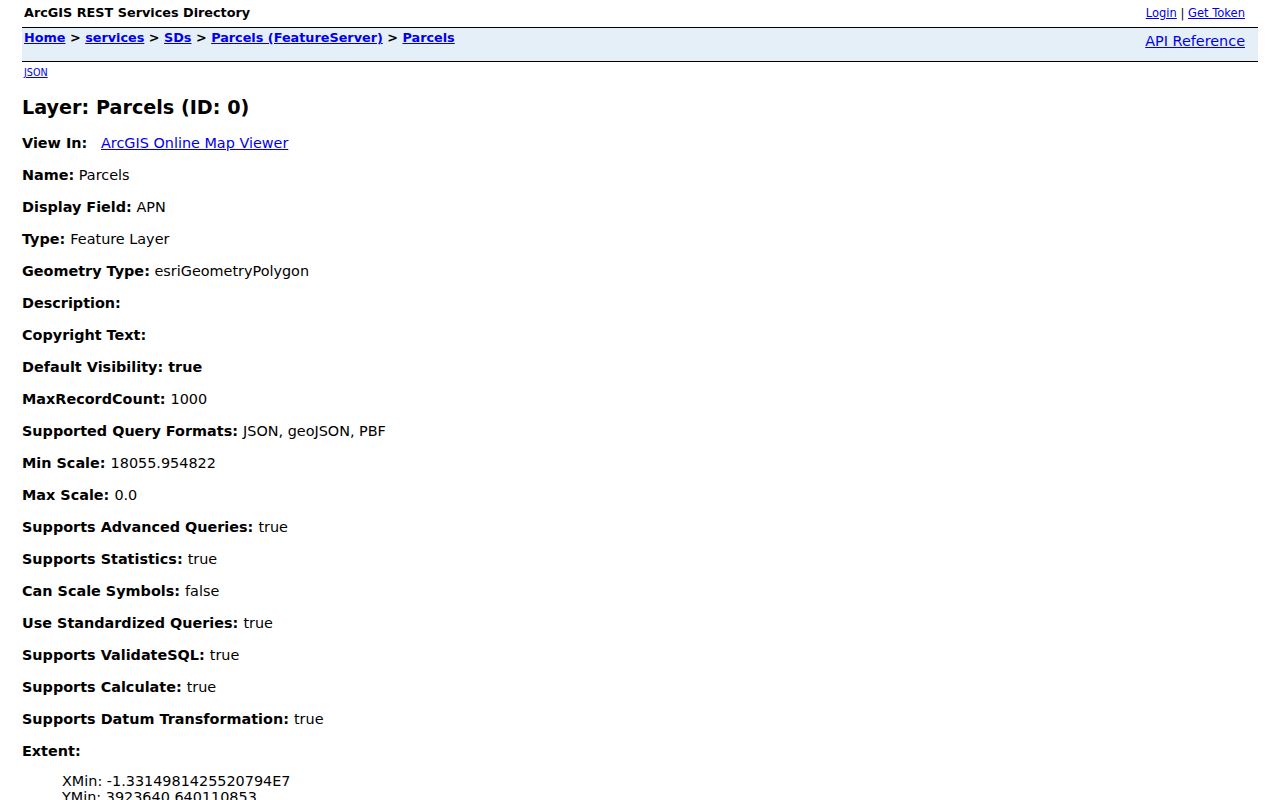
Click the subject polygon first, then work outward to touching polygons so each neighbor parcel keeps its own APN and situs label.
Map Ventura Neighbors by Parcel
Adjacent-parcel research is a visual process. It is not a claim that County View creates a named neighbors list. The map can show a subject polygon, then polygons that touch it. In a condominium or irregular block, one footprint can contain many APNs, an alley can separate parcels, and a common parcel can look like a dwelling unless the legal and map context is read.
- Locate the subject address and select the correct result, then record its APN and situs.
- Turn on parcel geometry and labels, and keep the city boundary and aerial layers available.
- Click each polygon that touches the subject, recording APN, situs, tract, and map or record-map clues.
- Use the lawful Assessor and Recorder channels for owner or instrument evidence, keeping mailing address separate from occupancy.
- Use permits, historical directories, or public civic contacts only for the question those sources can answer.
For a whole named street, the Ventura street directory workflow is the better next step. A block lookup should stay close to the subject parcel and its immediate map context.
Ventura Neighbors Maps and Planning
County View carries a recorded-map layer for miscellaneous records, parcel maps, records of survey, and corner records. Those points and document links can explain why a boundary, lot line, or address seems different. They are not substitutes for the Recorder's document image. Keep the record-map number and document bridge, then validate the legal description through the responsible office.
Planning layers add zoning, area plans, SOAR land-use data, school locations, political districts, supervisorial districts, aerial years, city boundaries, and other geography. The City of Ventura planning system and historic context work can supply neighborhood or development context, but a planning label is not a household classification.
The county recorded-map layer shows how a block can be tied to mapped document references.
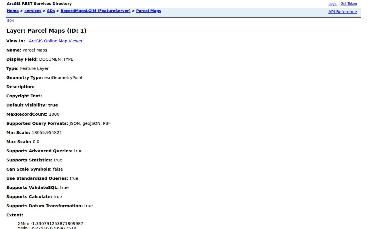
A record-map point is a lead to a recorded source, not proof that a particular person owns or occupies the nearby land.
The City of Ventura planning page supplies the city development and planning context used beside parcel geography.
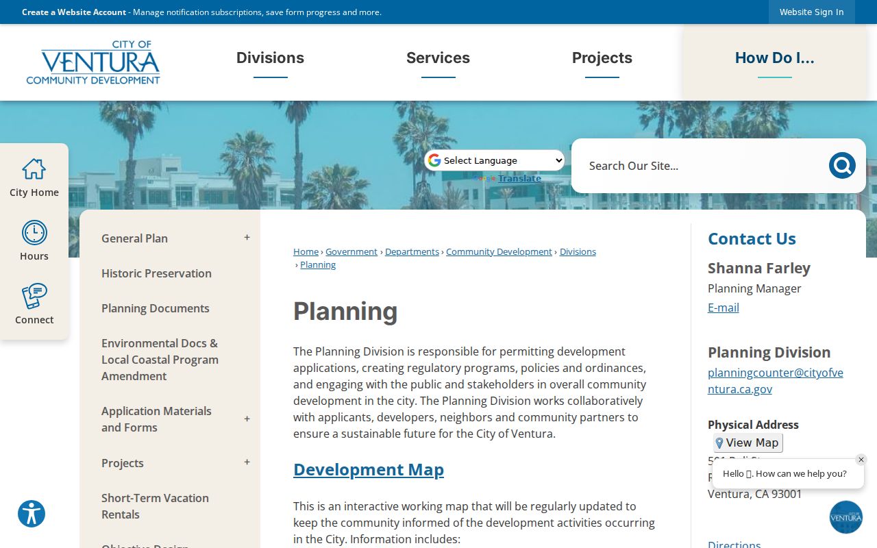
Planning context helps explain a block's use and history while leaving personal identity to the proper record custodian.
Ventura Neighbors and Councils
Ventura officially recognizes seven independent Neighborhood Community Councils. They are open to residents, business owners, and property owners in their areas, operate under their own bylaws and leadership, and provide a voluntary civic connection layer. The city does not promise a public household or member directory. Meeting details and leadership contacts should not be converted into a list of everyone on a block.
| Council | Meeting pattern in the city inventory | What the public route supplies |
|---|---|---|
| Westside Community Council | First Wednesday, 6:30 p.m., online and in person | Website and public meeting route |
| Downtown Ventura Partners | Fourth Thursday, 9 a.m. | Organization and community contacts |
| Midtown Community Council | Second Thursday, 7 p.m., in person | Website route; no resident roster documented |
| College Area Community Council | Fourth Wednesday, 6 p.m., online and selected in person | Website route; no member directory documented |
| East Ventura Community Council | Third Thursday, 7 p.m., in person | No current website listed by the city |
| Pierpont Bay Community Council | Selected odd months, 7 p.m. | Website route and public meeting information |
| Montalvo Community Council | Bimonthly evening meeting | Website route and public civic contact |
The City of Ventura community-council inventory is the correct starting point for a civic question. A council page can help a person attend a meeting or reach a public leader, but it does not prove that a named neighbor lives in a particular home.
Ventura Neighbors Council Lines
Community-council boundaries do not perfectly match the seven City Council districts. City planning subregions are more granular and include Westside, Foothill, Downtown, Midtown, College Area, Eastside and Juanamaria, Eastside and Saticoy, Thille, Pierpont, Marina, Southeast and Montalvo, and Arundell and North Bank. A neighborhood name therefore depends on the source framework.
Use the date and framework beside a geography. A council boundary can guide a meeting question. A planning subregion can guide a land-use question. A parcel layer can guide an address question. None of the three is a list of Ventura neighbors.
Ventura Neighbors Official Tools
Official records have a narrow purpose and a named custodian. A commercial neighbor tool may combine public and private data, stale addresses, and name matches without showing the source or access rule. Neither category should be treated as proof of every person near a Ventura address. The comparison below keeps the difference plain.
| Source type | Strength | Limit |
|---|---|---|
| County parcel and Recorder records | Stable APN, legal description, owner or party instrument | Does not enumerate occupants or all households |
| City and county permits | Dated work history and named project roles | Applicant or contractor is not automatically a neighbor |
| Community councils | Voluntary civic contact and public meetings | No official membership or household roster documented |
| Commercial neighbor tools | May surface leads across mixed sources | Accuracy, source, cost, and lawful-use limits can be unclear |
Police records add another boundary. Ventura Police requests require a relationship or eligibility declaration, identity details, and the report or incident clues. That is a party-of-interest process, not a neighborhood search.
The Ventura Police records request route shows the kind of access rule that keeps an incident record from becoming a neighbor directory.
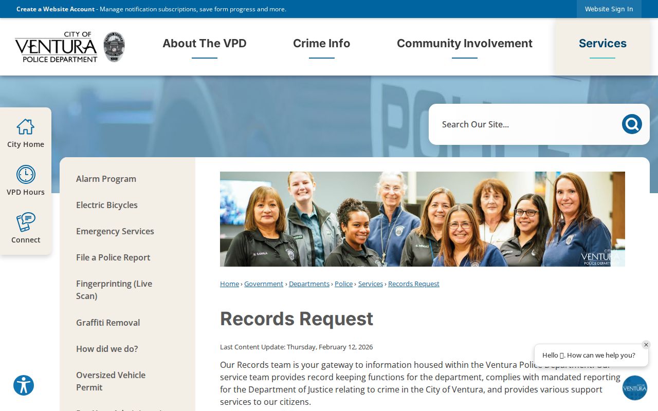
Use the official form only for a record and relationship that the agency can lawfully release.
Ventura Neighbors Protected Voter Data
California My Voter Status is an individualized self-check. The official voter-registration information file requires an approved purpose and application review. A specific-voter request can identify up to ten people and asks for full name, date of birth, county, and residence address. Optional participation history reports election date and voting method, never ballot choice. Protected identifiers and Safe at Home records receive added limits.
Safe at Home supplies a substitute mailing address, mail forwarding, and confidential voter registration for eligible people facing domestic violence, stalking, sexual assault, trafficking, child abduction, elder or dependent-adult abuse, and specified public or health participants. Certification lasts four years and can be renewed. A substitute address is a legal protection, not a search error.
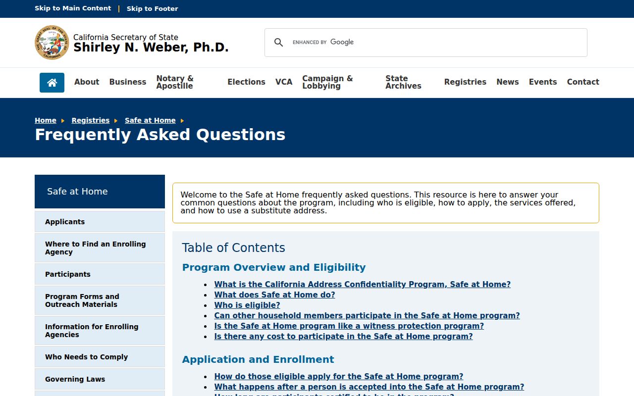
The California Safe at Home information page explains the protected-address route.
Missing or substituted address data should be respected as a statutory boundary, not reconstructed from other sources.
Privacy Limits on a Ventura Neighbor Lookup
A block map can show land, boundaries, public record links, and voluntary civic contacts. It cannot show every resident, guest, child, renter, utility customer, delivery recipient, or protected participant. DMV data is restricted by the federal Driver's Privacy Protection Act. CPRA does not override voter, vital, sealed-court, adoption, or Safe at Home rules.
Before contacting anyone, verify the parcel, role, and source date. Use official offices and public council routes rather than inferred personal details. California Penal Code sections 646.9, 653m, 653.2, and 530.5 address stalking, harassing communications, harmful distribution of identifying information, and unlawful use of identity information.
A responsible Ventura neighbors note should preserve the date of the map view, the APN, the source layer, and the exact claim being made. “Adjacent parcel” is a map observation. “Assessed owner” is a custodian-based record clue. “Council contact” is a voluntary public role. None of those labels should be expanded into a claim about who shares a home or who can be approached. If the source is silent, leave the field blank and ask the right office rather than stitching together private details.
Lawful personal use. Ventura neighbor research is appropriate for property history, civic participation, family history, or safe community connection. Do not use a block map or record result to stalk, harass, intimidate, impersonate, or harm any person.